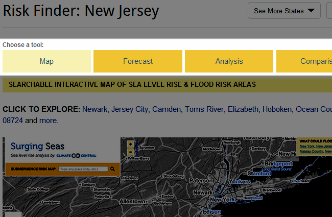
New Slideshows - State Home Page
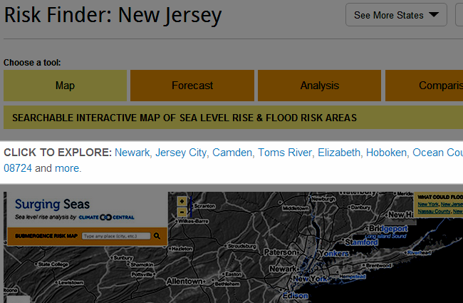
From each state's home page, from the top bar, choose to explore one of the four main tools contained in Surging Seas Risk Finder: (1) an interactive map (2) SLR and flood risk projections (3) Exposure Analysis (4) Comparison Heat Maps.
Once a tool is selected, click one of the blue starter links or the image to start exploring.
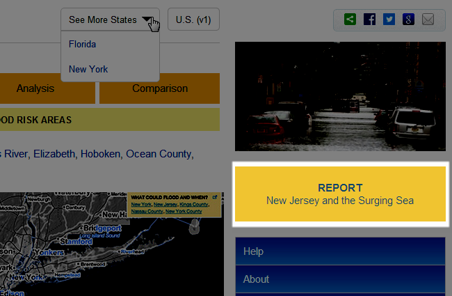
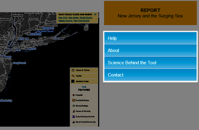
Click on the orange report button to access the research report PDF written by Climate Central.
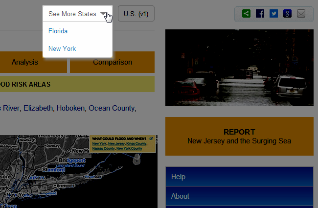
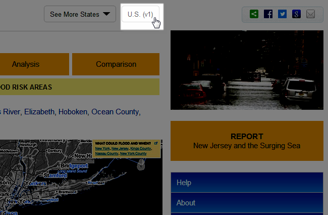
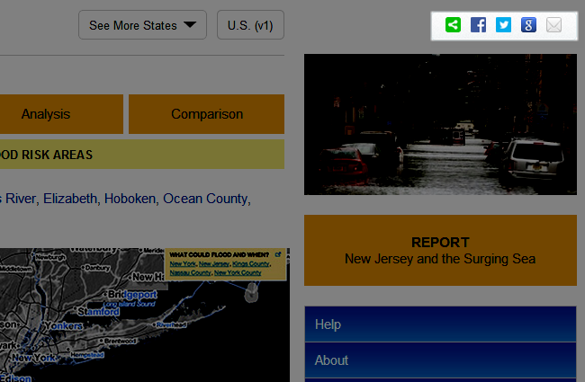
Switch to view another available state by clicking the "See More States" drop-down menu.
View Surging Seas 1.0 by clicking the "U.S. (v1)" button.
The blue menu items link to pages that contain useful background and technical information, such as how our web tool differs from other web tools or studies available in a given state.
Share your experience with others by utilizing the social media icons in the top right.